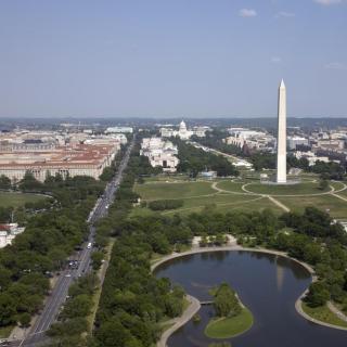
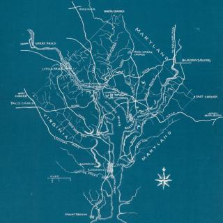
This map reveals the roadways that existed in Washington, D.C. before its development into the capital city (and before it was a city at all). Six of those roads are still in use today, and details of their history reveal the the central facets of early Washington life which busy D.C. residents no longer orbit, but whose trails we certainly follow.
There are fifty-one streets in D.C. named for every state and Puerto Rico. But, admittedly, not all state avenues are created equal. Some are long, vital roadways through our city. Others are historic and prominent—the location of our country’s most important events. And some are…well, a bit hard to find. Admit it: you probably couldn’t point to all of them on a city map. So why are some state avenues more prominent than others? Is there any method to the naming madness?
![Sketch of the mythical fuan by Pearson Scott Foresman. [Source: Wikipedia]](/sites/default/files/styles/crop_320x320/public/2023-10/Goatman_Wikipedia_Faun_2_%28PSF%29.png?h=64a074ff&itok=C9Qh-PE1)
")


")
")

")
")